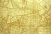
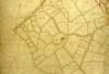
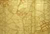
Reference
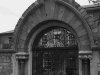
Maps and Images of Earls Colne
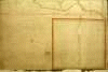
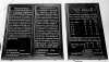
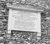
Click on the "thumbnail" graphics below to view larger, more
detailed images. Please note, the large images are quite large in
file size and may require considerable download time. They may also
appear dithered on monitors with low color depth.
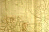
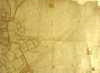
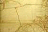
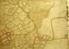
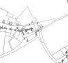
The maps used in the database were copied from this map and then
overlaid with the map accompanying the 1838 Tithe Award.
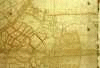
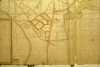
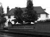
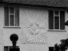
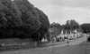
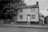
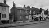
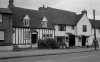
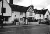
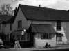
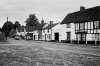
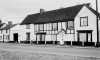
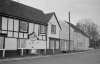
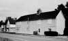
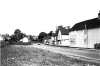
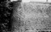
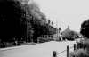
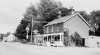
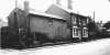
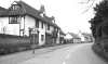
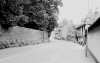
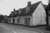
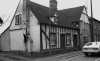
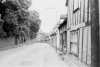
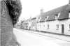
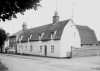
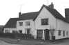
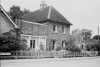
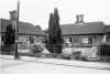
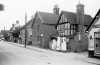
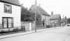
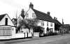
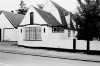
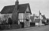
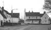
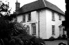
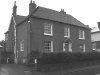
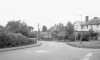
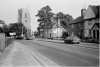
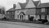
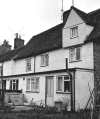
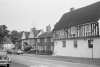
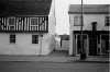
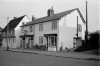
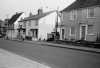
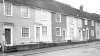
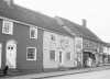
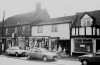
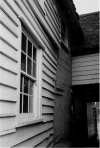
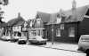
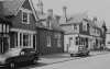
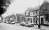
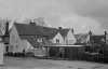
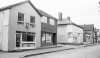
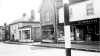
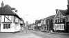
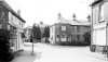
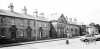
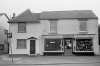
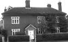
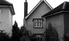
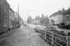
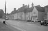
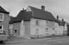
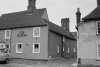
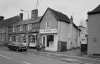
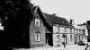
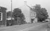
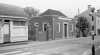
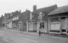
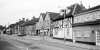
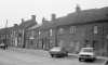
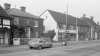
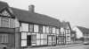
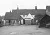
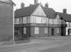
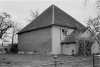
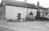
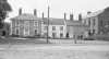
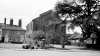
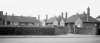
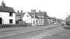
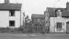
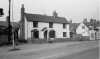
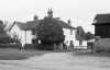
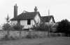
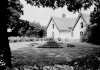
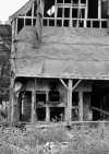
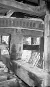
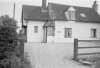
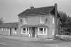
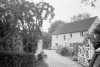
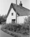
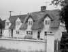
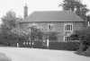
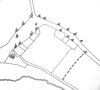
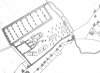
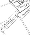
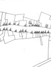
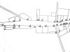
The houses are shown street by street starting from the east end of
the village. Relevant house numbers that link into the database can
be found by looking at the text accompanying the enlarged images.
Colneford Hill
Lower Holt Street
North-west side
South-East side
Upper Holt Street
North-west side
South-East side
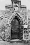
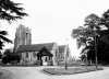
Church and Shut Lane
High Street
South side
North side
Burrows Road
Colne Green
South side
North side
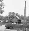
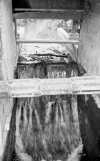
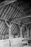
Chalkney Mill
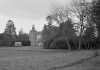
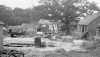
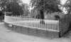
Lodge Farm
Hayhouse
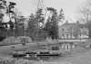
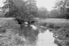
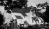
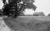
Other outlying houses and fields