|
 |
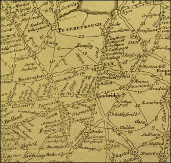
The influence of Ogilby's atlas was widespread, and a network of
roads subsequently appeared on many other English maps, such as
George Willdey's plan, illustrated here, of post and cross (i.e.
minor) routes. Ogilby’s work also enabled the compilation
of different sorts of maps for professional and private travel.
In 1677 a ‘distance line’ map came on to the English
market. Produced by John Adams, this included 780 towns and villages
in England and Wales, linked by a network of ruled lines with numbers
indicating the mileage between them.
|