|
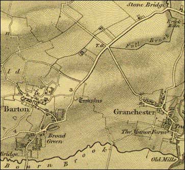
Baker offered to sell his map of Cambridgeshire to the Board, but
had to content himself with an undertaking that publication of the
rival Ordnance Survey map (illustrated here) would be delayed.
It eventually appeared in 1836.
The early days of the Ordnance Survey were marked by disputes about
the most appropriate scales at which maps should be surveyed and
published - the ‘Battle of the Scales’ as it was called.
This was resolved in 1858, when a Royal Commission recommended scales
of 1:2,500 for cultivated rural areas, 1:500 for towns and 6 inches
to the mile and 1 inch to the mile for national mapping. Each county
was mapped separately at the 1:2,500 and 6 inch scales, giving rise
to the ‘County Series’ maps. The exhibition features the
index for the six inch County Series maps of Cambridgeshire, the
initial survey for which took place between 1876 and 1886.
After the First World War the resources available to Ordnance Survey
declined whilst the demands being made upon it increased. In 1935
an investigative committee under the chairmanship of Sir John Davidson
was set up to consider how the effectiveness of the Survey could
be restored. One of the more significant recommendations of the
Davidson Committee was that a metric National Grid should be adopted
by Ordnance Survey maps to provide a reference system for the whole
country. Since then there has been a progressive move towards the
use of metric scales, with the old one inch maps being replaced
by the 1:50,000 Landranger series (completed in 1987) and the six
inch by 1:10,000 (completed in 1990). More significant still has
been the move away from conventionally printed paper maps and into
the world of digital databases and on-demand printing.
|