|
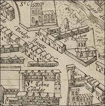
The earliest surviving map of the city of Cambridge was published
by Richard Lyne in 1574, the year after Saxton had begun work on
his groundbreaking atlas. Lyne’s map also has the distinction
of being the earliest depiction of a town known to have been engraved
on copper by an Englishman.
The first accurately measured survey of Cambridge was completed
by John Hamond in 1592. Sadly only one complete copy of this large
(roughly 4ft. x 3ft.) and detailed map survives. However, Hamond’s
map was used by other map makers as the basis of their own work
and one such derivative is illustrated in the exhibition.
|