|
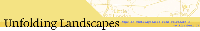
This exhibition traces the key events in the mapping of the County
from 1573 to 2003, right up to the Ordnance Survey digital maps
of today. On display are printed maps illustrating the evolving
styles of cartography, prompted and inspired by technical advances
and changes in the use to which maps are put. Apart from maps of
the whole County, the exhibition looks at the mapping of Cambridge
and the Fens.
The maps are beautifully crafted works of art in their own right,
but they also tell us an enormous amount about past landscapes and
the society for which they were made.
|